Fresh designs show students their path
September 7, 2016
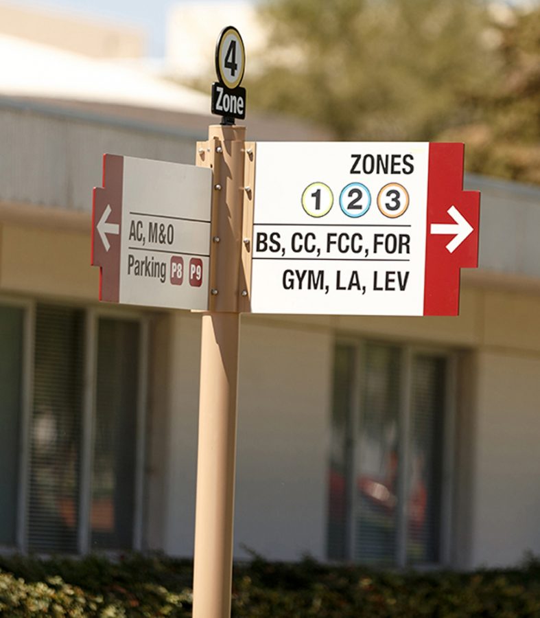
Over the summer, Bakersfield College underwent several renovations – the largest of which is the new “optimal path of travel” system and new signage that now populates the entire campus.
The new pathing is designed to make getting from class to class easier for students. “You can now get from one side of the campus to the other on concrete the whole way,” said Bill Potter, head of maintenance and operations at BC.
Aside from enhanced convenience of those walking the campus, the new concrete walkways will make navigating quicker for those disabled or using wheelchairs.
Part of this new initiative is the new uniform signage and maps. Labeled arrow signs now point students toward their destination. “The main thing is that students can look at those signs and know the best way to get there,” said Potter.
Regarding the four “zones” that the campus is now divided into, Potter explained that it will make reading the map generally easier. “Every map tells you which zone to go to, so you can at least walk in the right direction.”
Potter said that while there are multiple ways to get to each building on campus, the new signs represent the recommended path that never leaves concrete. Additionally, every map now also has a QR code that can be scanned to download the campus map on a phone.
“[The maps and signs] have needed an update for a long time,” said Potter. “I don’t think, in the past, we’ve ever had a uniform sign system.” He pointed out that everything from the signs regarding dogs, skateboarding, and even stop signs all aesthetically match for the first time.
Potter went on to say that a big part of the new signs is to make them future-proof and easily updatable when new structures are added to the campus.


